


Ninh Binh
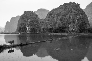
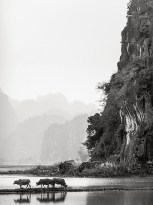
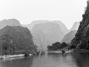
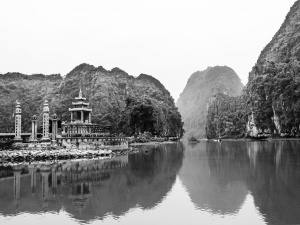
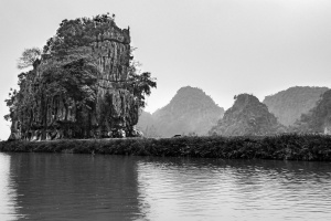
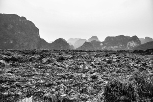
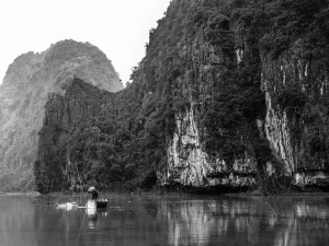
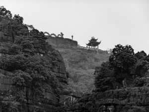
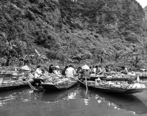
90 kilometres south of the Vietnamese capital Hanoi, lies the picturesque province of Ninh Binh. Located on the red river delta, the area is blessed with diverse topography. Here, stunning limestone formations, countless primitive caves, valleys, and submerged mountains blanket the region.
Hoa Lu and Tom Loc (east of Cuc Phuong National Park) are regarded as Halong Bay without the sea. Furthermore, archaeological remains found in the surrounding caves date back to around 30,000 years ago.
Ninh Binh separates the North and Central part of Vietnam by the Tam Diep mountain range. The largest ethnic groups in the province are the Viet (Kinh), Muong, Thai and Tay.
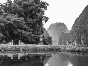
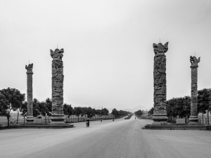
Within the province lies Hoa Lu which was chosen as the first capital of Vietnams feudal centralist regime. From 968 it served as Vietnams capital city for 62 years (between 968-1010). Picked by Emperor Le due to the topography of the region. The surrounding steep karst mountains making it much simpler to defend.
In 1010, King Ly Thai To moved the capital from to Thang Long (present-day Hanoi), thus opening a new era for the Vietnamese people.
Photographing Ninh Binh
Mooch around elsewhere as this is coming along nicely, but later
Boring factual stuff about Ninh Binh
Like I said up there, mooch off for now.
Have a wemooch elsewhere...
Inspired?
Fancy a wee mooch around Ninh Binh's weird looking rock formations?
You'll need a few things to come together for it all to work out. There's some useful stuff to be clicked and pressed below.
Travel Resources